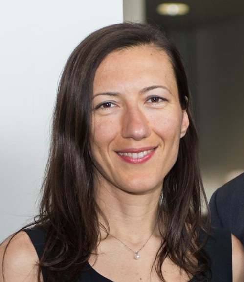
Arras, Tracy
Senior Lecturer/Lower Division Coordinator
Contact:Email
Phone: 541-737-9697
|
Research Interests:
- Geographical information systems
- Integration of geomatic technologies (remote sensing, image processing, and GPS) for engineering applications
Teaching Interests:
- Introductory GIS
- GIS and Water Resources
|

Che, Erzhuo "Ezra"
Assistant Professor (Senior Research)
Contact: Email
|
Research Interests:
- Laser scanning
- Point cloud processing
- Error Modeling
Teaching:
- CE566 3D Laser Scanning and Imaging (4)
- CE562 Digital Terrain Modeling (4)
Personal Website:
LinkedIn
|

Jung, Jaehoon
Assistant Professor (Senior Research)
Contact:Email
|
Research Interests:
- Lidar data processing
- Simultaneous Localization and Mapping
- Scan-to-BIM
Teaching Interests:
- Machine Learning
- WebGIS
|

Olsen, Michael
Professor
Contact:Email
Phone: 541-737-9327
|
Research Interests:
- Terrestrial laser scanning
- Remote sensing
- GIS
- Geotechnical engineering
- Earthquake engineering
- Hazard mitigation
- 3D visualization
Teaching:
- CE 202, Geospatial info and GIS (3)
- CE 365, Highway Location and Design (3)
- CE 562, Digital Terrain Modeling (4)
- CE 566, 3D laser scanning and Imaging (4)
- CE 568, Least Squares Adjustment (3)
Personal Website:
LinkedIn
|

Park, Jihye
Assistant Professor
Contact: Email
Phone: 541-737-4563
|
Research Interests:
- High accuracy GNSS positioning
- GNSS remote sensing
- GNSS meteorology
- GNSS-Reflectometry
- Geotechnical engineering
- Geohazard monitoring and mitigation
Teaching:
-CE 202, Geospatial info and GIS (3)
-CEM 263, Plane Surveying (3)
-CE 564, GNSS (4)
-CE 568, Least Squares Adjustment (4)
-CE 663, Geodesy (4)
|

Parrish, Chris
Associate Professor
Contact:Email
Phone: 541-737-5688
|
Research Interests:
- Full-waveform LiDAR
- Topographic-bathymetric LiDAR
- Hyperspectral imagery
- Uncertainty modeling
- UAVs for coastal applications
Teaching:
- CEM263, Plane Surveying (3)
- CE 361, Survey Theory (4)
- CE461/561, Photogrammetry (3)
- CE 567, Coastal Remote Sensing (4)
- CE 661, Kinematic Positioning and Navigation (3)
- CCE 561, Hydrographic Surveying (3)
Personal Website:
Parrish Research Group
|

Simpson, Chase
Instructor
Contact:Email
Phone: 541-737-7007
|
Research Interests:
- Uncrewed Aircraft Systems for surveying and mapping
- Real-Time GNSS Networks
- Boundary Surveys and Boundary Law
- Control Surveying
Teaching:
- CEM 263, Plane Surveying (3)
- CE 361, Survey Theory (4)
- CE 365, Highway Location and Design (3)
- CE 463/563, Control Survey (4)
- CE 465/565, Oregon Land Survey Law (3)
- CE 469/569, Property Surveys (3)
- CCE 561, Hydrographic Surveying (3)
Personal Website:
LinkedIn
|

Turkan, Yelda
Associate Professor
Contact:Email
Phone: 541-737-2631
|
Research Interests:
- Terrestrial Laser Scanning for the Built Environment
- Scan-to-BIM
- Automation in Construction
- Virtual Design and Construction
- Uncrewed Aircraft Systems for Infrastructure Monitoring
- Remote Sensing for Natural Hazard Engineering / Disaster Management
Teaching:
- CE 420, Engineering Planning
- CEM 442, Building Construction Management
- CCE 528, Advanced Virtual Design Construction
Personal Website:
LinkedIn
|


