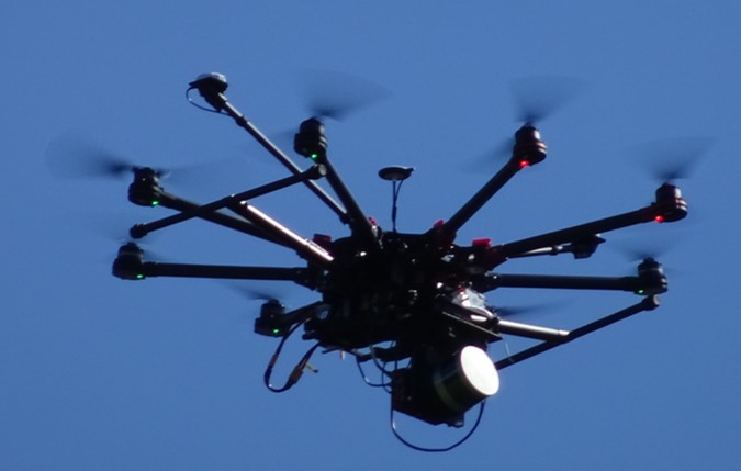
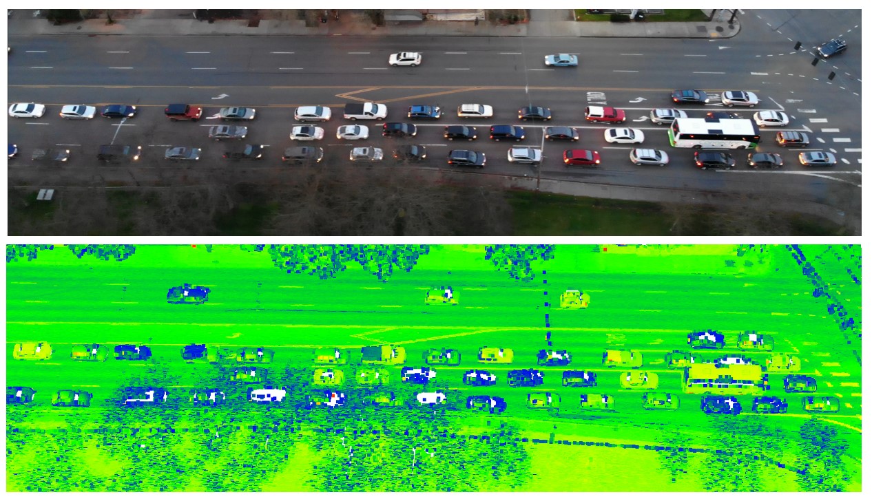
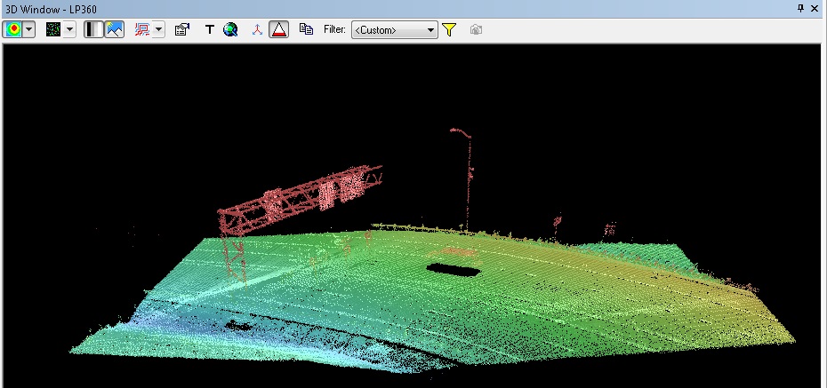
 In research sponsored by the Pacific Northwest Transportation Consortium (PacTrans), our project team investigated the use of lidar-equipped unmanned aircraft systems (UAS) and machine learning for traffic network monitoring. OSU graduate students built and instrumented a custom lidar-UAS and then flew it (operating under FAA Part 107) to acquire data over multiple test sites. Final outcomes of the project include:
Data from the project, including UAS lidar point clouds, are available here.
A project video, presented at the 2019 PacTrans | CSET Regional Transportation Conference is available here.


