 |
 |
 |
 |
 |
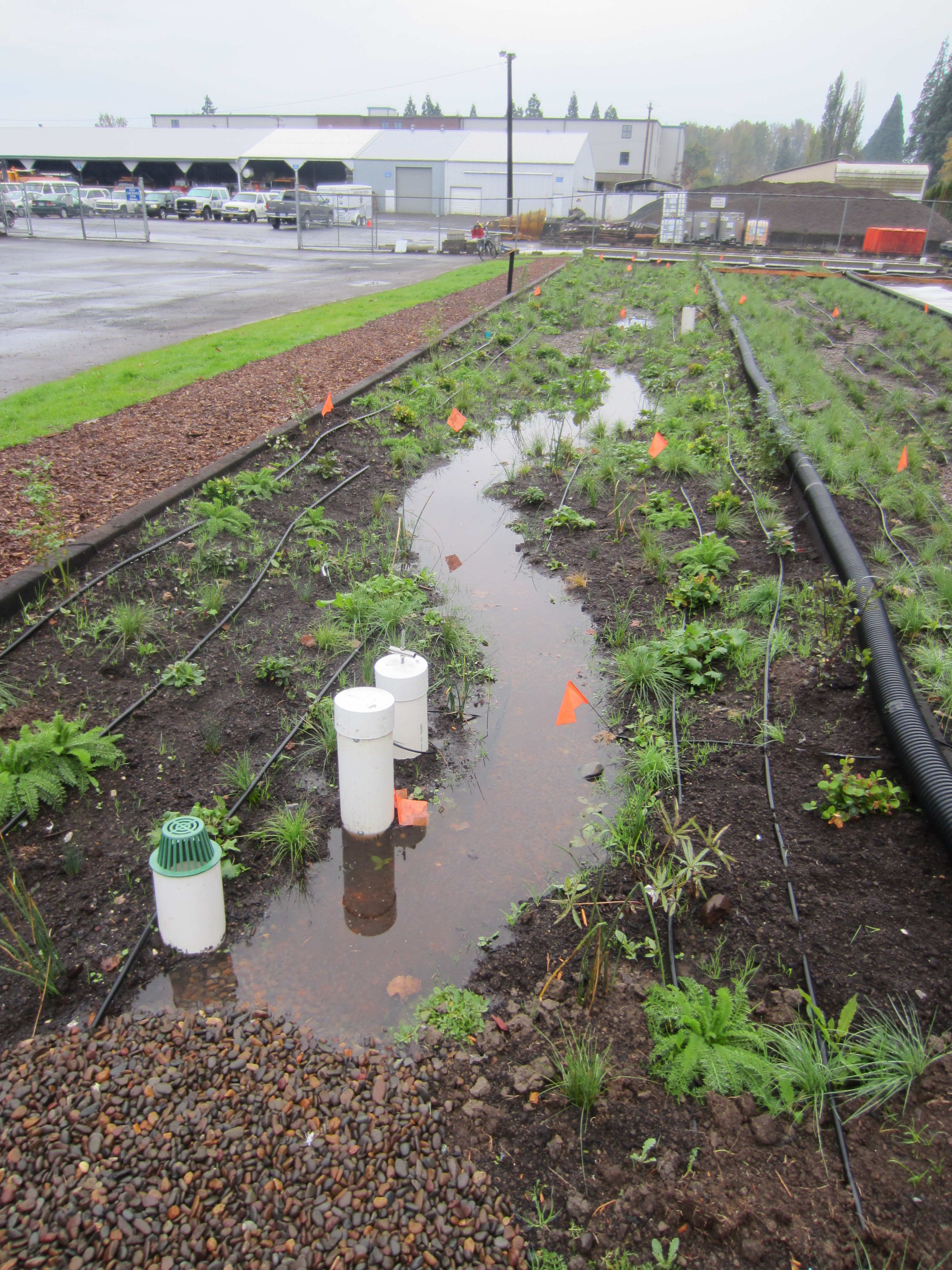
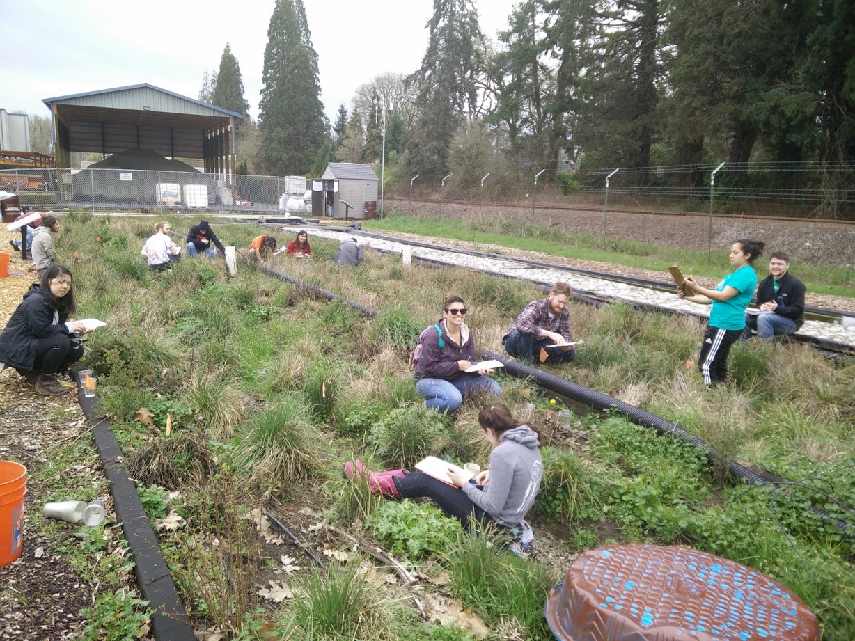
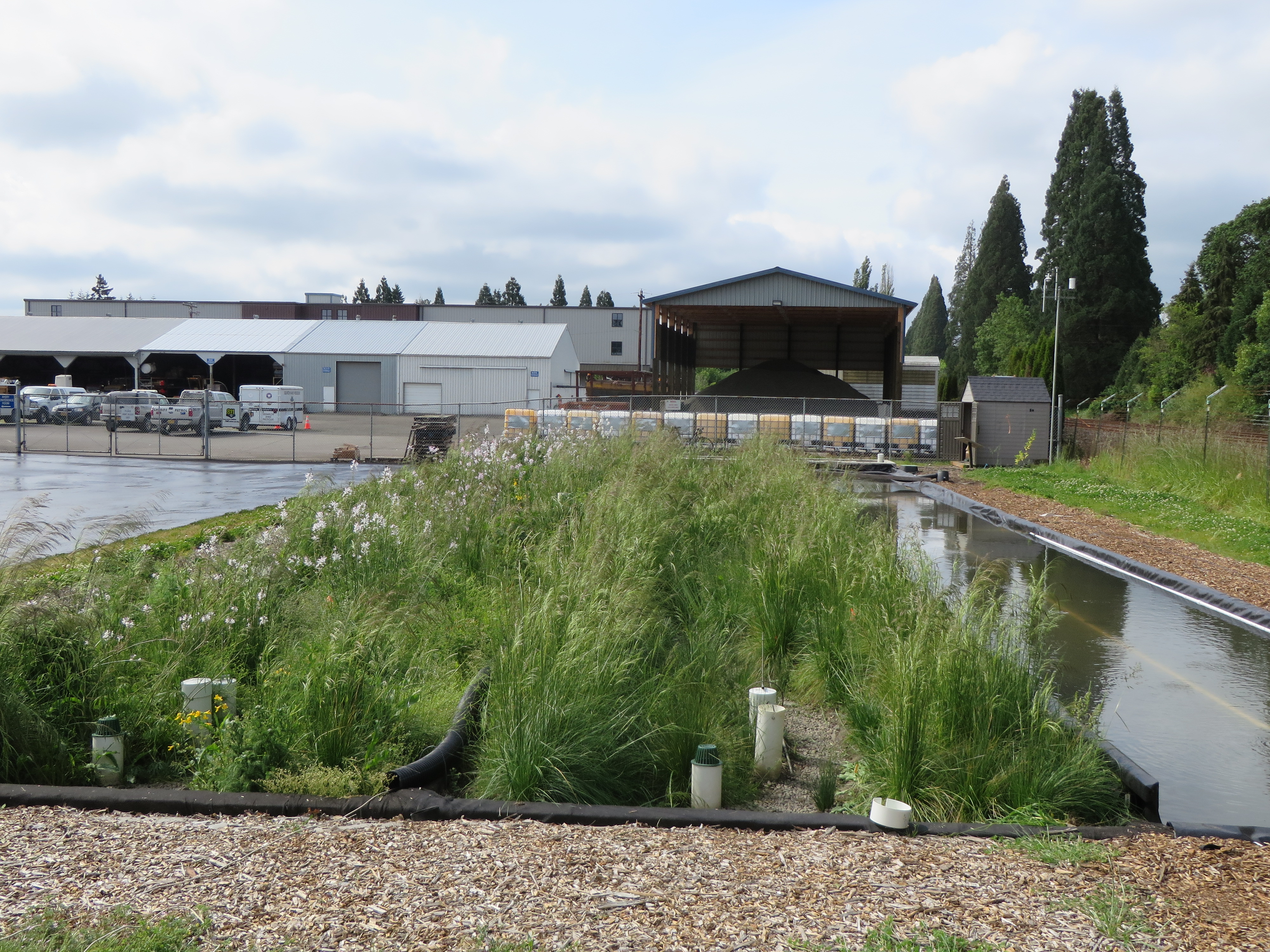
The OSU-Benton County Green Stormwater Infrastructure Research (OGSIR) Facility, an Oregon BEST Lab, is a three-celled stormwater research facility for field-scale experiments and testing on green infrastructure (e.g., raingardens, bioswales, etc.). The cells provide the ability to test various stormwater treatment technologies and treatment of various stormwater contaminants. These cells are also instrumented with multiple sensors to enable better data collection and modeling. Located on the NW corner of the Benton County Development Department property at SW Avery Avenue in Corvallis, Oregon, the facility intercepts and captures runoff from approximately 100,000 square feet of catchment area in the County property. Some of the pollutants being captured include tractor leaks, fuel tank spills, raw asphalt, road fill sediment, parking lot sediments and chemicals, road paint spills, etc. In addition to stormwater treatment, this facility supports long term research on stormwater quality to inform current and future projects for treating stormwater using ‘low impact development’ technology. The facility also provides education and outreach to engage the general public in taking action to support enhancing water quality.
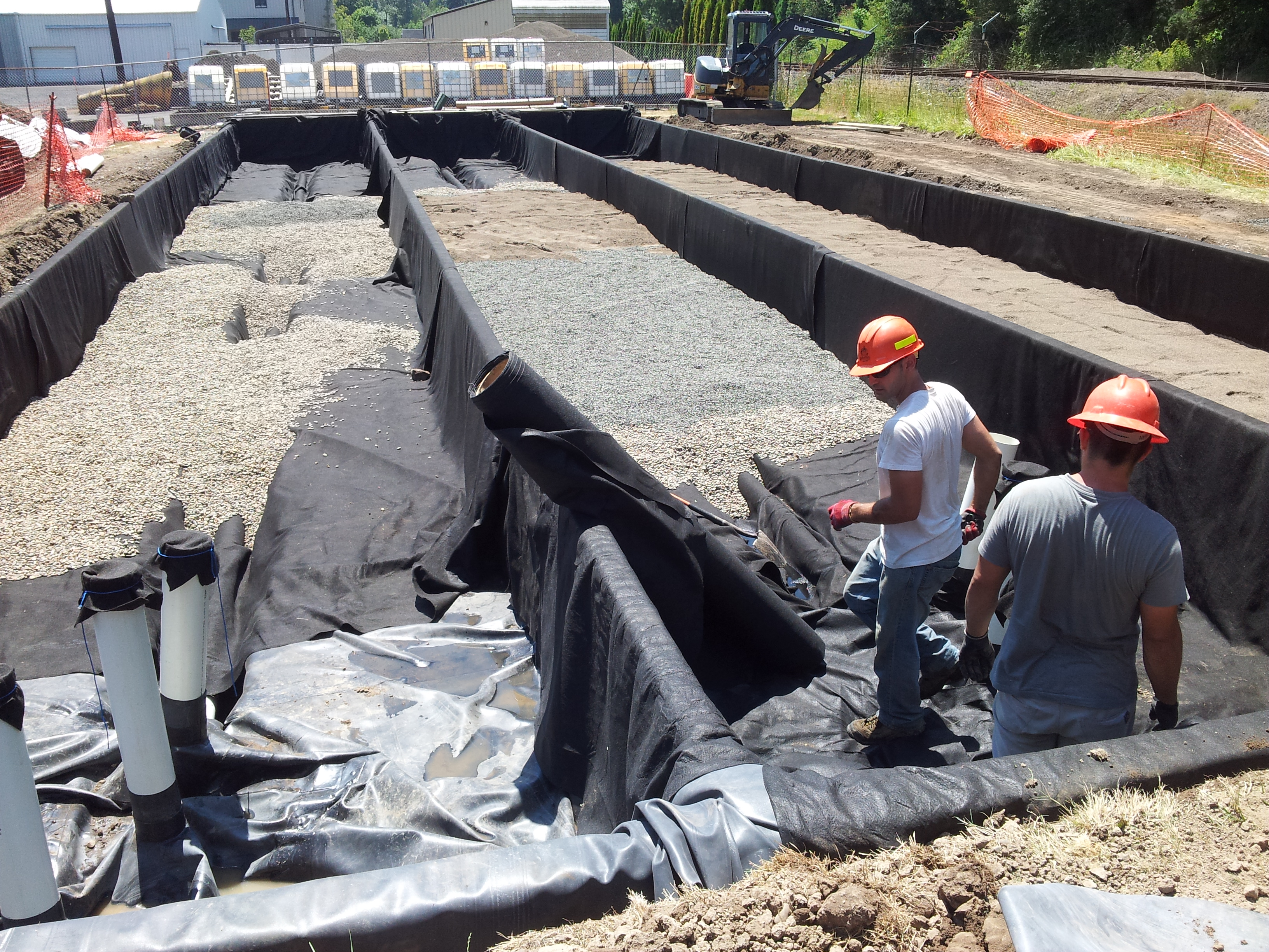
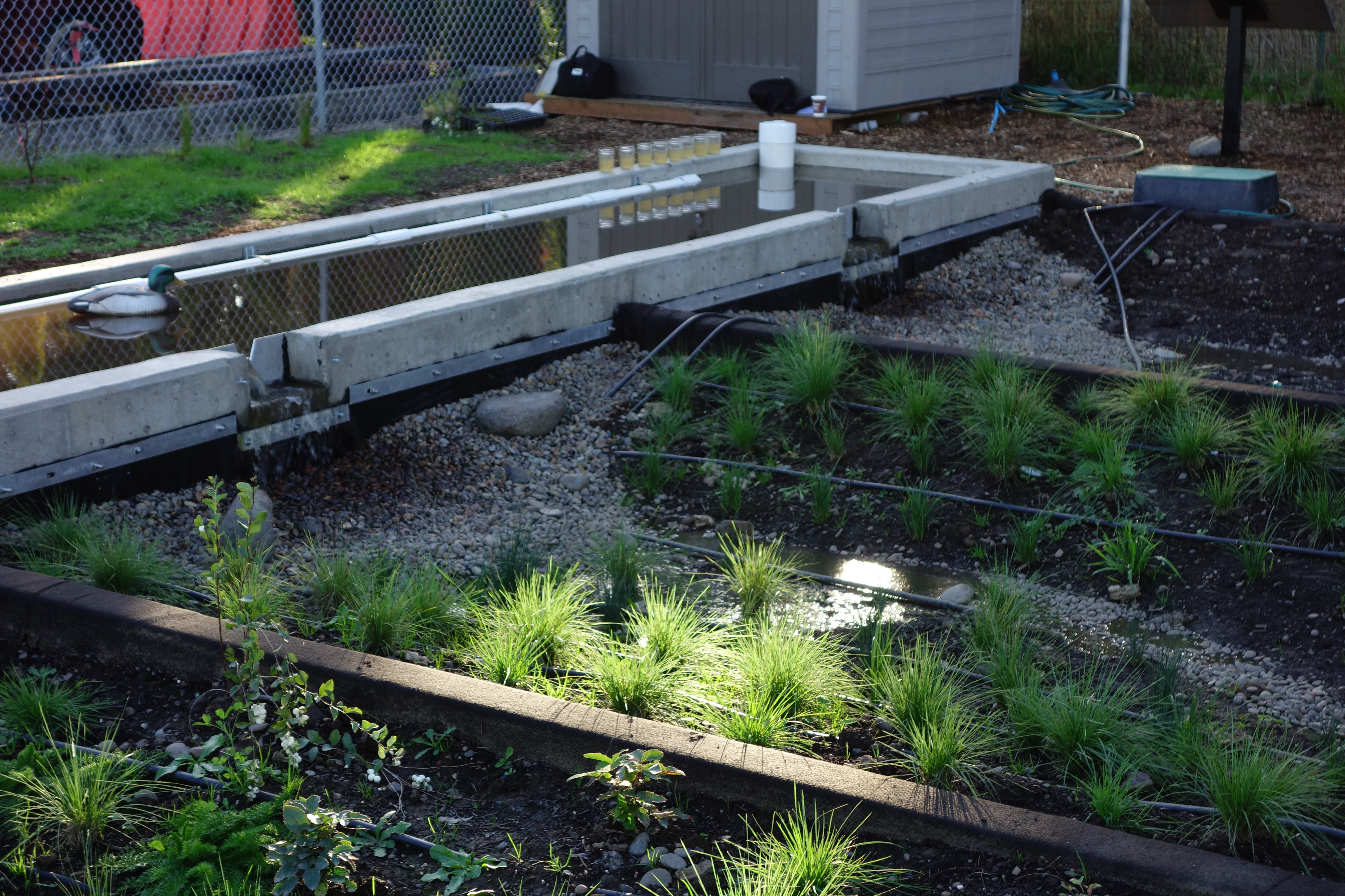
The research facility intercepts the flow from the existing piped stormwater infrastructure using a 5,700 liter (1,500 gallon) in-line underground storage tank. The captured water is automatically pumped (using a 1/3 HP cast iron Liberty 250 sump/effluent pump) from the storage tank into an above ground sediment bay. The stormwater flows out of the sediment bay through weirs into the three treatment cells that were constructed to be identical in size and dimensions. Water infiltrates through the cells into an underdrain pipe before exiting the system and returning to the existing piped stormwater infrastructure downstream of the storage tank. To examine performance of plants, soils, etc. without interference from surrounding water table, the cells are all self-contained by a 45 mil EPDM fish safe pond liner. Above this is a 6 oz geotextile material to protect the pond liner. In case of too much inflow, there is an emergency overflow drain.
Each cell is approximately 93 feet 4 inches long and 10.5 feet wide. The depth of each cell is 3 feet. The underdrain for each cell was laid in an 18 inches trench that is 4 feet from the top of the cell walls. The soils and plants in each of these cells can be replaced by experimental soil and plants. The 32 feet long, 4 feet wide, and 1.5 feet high concrete sediment bay was installed to discharge the flow from the underground pump, settle large particles, and measure flow into each cell. The sediment bay contains three 45°, 4 inch height V-notch weirs for use with the triangular weir equation for measuring flow. The V-notch weirs were installed with surveying assistance at the same elevation for equal flow discharge into each cell.
At the underdrain outflow side of each cell, there is a valve, stilling well, 6” Thel-Mar weir, and an overflow outlet. After passing through the weir, the stormwater runs through a pipe that then reconnects the outlet with the site’s existing stormwater infrastructure to drain into the Mill Race.
Continuous monitoring of these cells at the site is critical part of the research facility. The monitoring enables research and help inform the benefits of this field-scale project to all stakeholders. Some of the monitored environmental parameters and the instrumentation at the site are mentioned below.
Continuously Monitored Parameters:
Monitoring Equipment Installed: