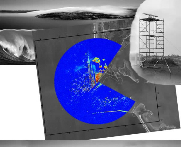
Image shows wave radar data taken at the mouth of the Columbia River, January 2006, displayed over satellite imagery.
OSU College of Engineering People. Ideas. Innovation.
School of Civil & Construction Engineering. 101 Kearney Hall, Oregon State University. Corvallis, OR 97331-3212