Principle Investigator(s): Professor Michael J Olsen (OSU)
Associate Investigator(s): Professor Ben Leshchinsky (OSU), Chris Parrish (OSU), Jonathan Allan (DOGAMI)
Graduate Student(s): Andrew Senogles, Maria Krivova
Starting Year: August 2020
Budget: $289,500
Description(Abstract):
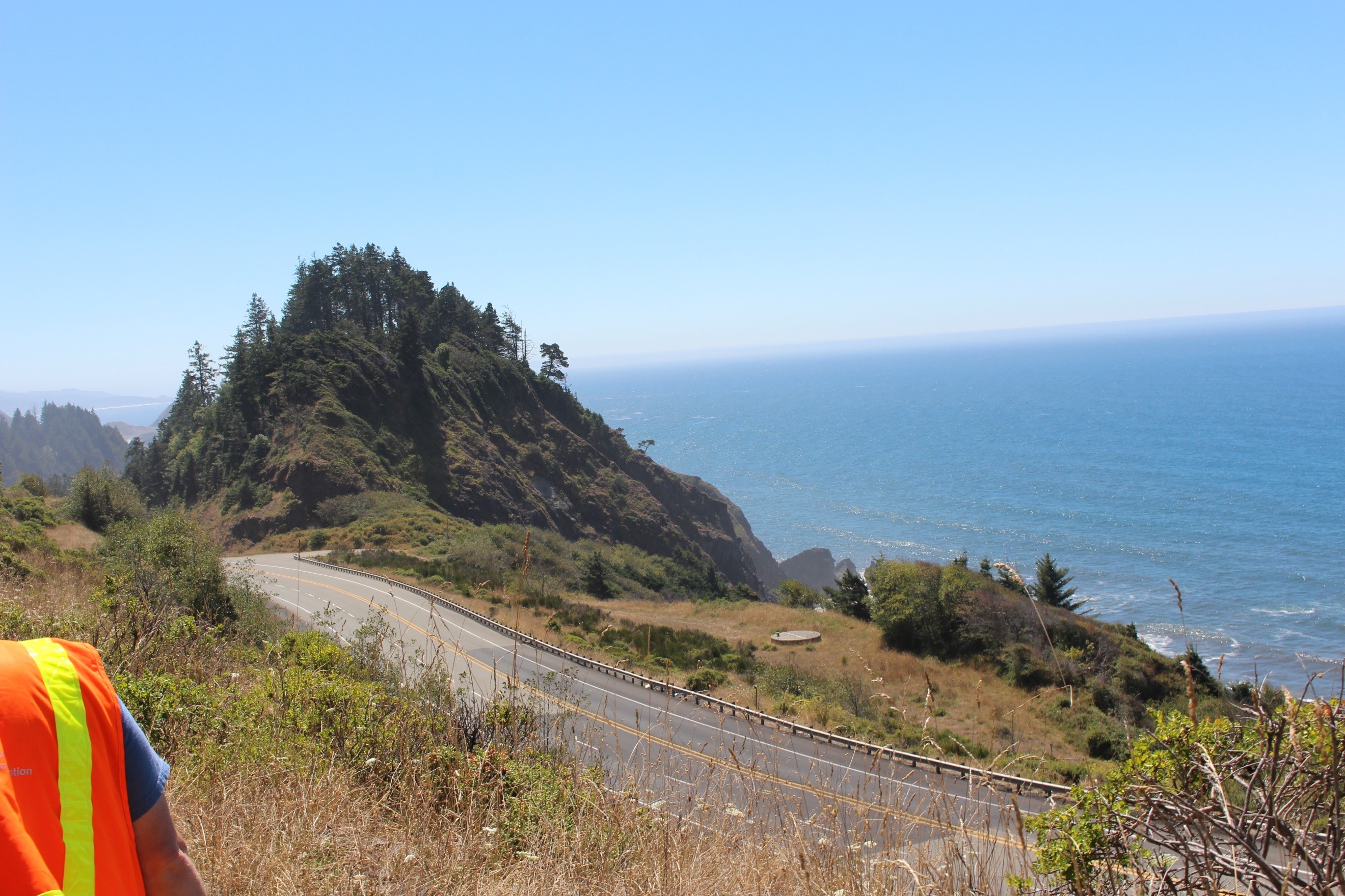
US 101 is a vital economic and emergency lifeline that connects coastal communities and provides access to numerous coastal destinations for Oregonians and tourists. Many sections of this highway are highly susceptible to coastal hazards such as erosion, landsliding, wave action, storm surge, flooding, and rising sea levels. Generally speaking, US 101 on the open coast is more impacted by wave-driven erosion hazards and landslides while US 101 in the estuaries is more vulnerable to impacts from storm surge, flooding, and rising sea levels. Structural mitigation of these susceptible areas is challenging due to the extensive regulatory exceptions process required by the Department of Land Conservation and Development (DLCD) through Statewide Planning Goal 18 (which prohibits shoreline armoring of highway infrastructure) for the open coast (e.g., beaches, seacliffs, and dunes). A related goal, Goal 16 applies in the estuaries.
The need to revisit Goal 18 for maintaining and protecting public infrastructure has been recognized, with ODOT recently participating in a DLCD led Shoreline Armoring Focus Group. This Group identified that research providing a comprehensive and prioritized coastal highway vulnerability and risk assessment is key to informing upcoming DLCD Goal 18 policy updates. To proactively position ODOT to effectively manage risk and support Goal 18 updates, development of a coastal highway hazard prioritization matrix that includes vulnerability, risk assessment, mitigation options, and management strategies for planning and project development is critical.