Principal Investigator(s): Christopher E. Parrish
Senior Person(s): Jaehoon Jung
Project Starting Year: 2019
Project Ending Year: 2019
Description(Abstract):
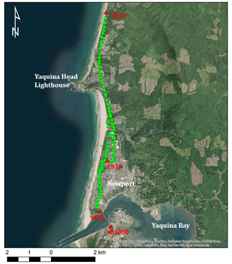
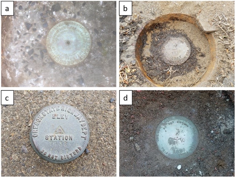
In 1967, as directed by the Oregon Beach Bill, the Oregon State Highway Department undertook a survey of the entire coast to delineate the shore zone boundary. Survey control points and photo control were established for an aerial survey that same year, but only hardcopy records currently exist. If the 1967 survey coordinates can be accurately updated, the aerial imagery can be processed in modern photogrammetric software to produce digital elevation models of the entire coast, which will enable volumetric coastal change analysis over a period of half a century. The goal of this study was to develop and test a procedure for combining historic and current survey data to update the control survey coordinates. First, a custom workflow and algorithms were developed to convert the historical survey records to machine-readable format. GNSS data—both static post-processed and real-time network (RTN)—were then acquired for recoverable marks. An adjustment of the traverse data constrained to RTN coordinates was compared against an independent adjustment of the static GNSS data performed in the National Geodetic Survey OPUS-Projects software. The results show that the methods can produce updated horizontal coordinates for the 1967 survey accurate to within two centimeters.
Publications: