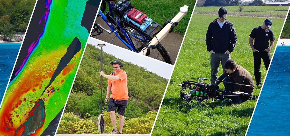
Welcome to the Parrish Research Group website! Our research focuses on advanced geospatial tools and technologies, including full-waveform lidar, topographic-bathymetric lidar, hyperspectral imagery, sensor fusion, and un-crewed aircraft systems (UAS) for management, science and engineering applications, with emphasis on the coastal zone.
A particular focus is on filling the global nearshore data void through fusion of bathymetric data derived through spaceborne and airborne technologies, combined with data from UAS and sonar-equipped autonomous boats. This webGIS, created by MS student, Ben Babbel, highlights recent results of current work aimed at producing nearshore bathymetric grids through fusion of ICESat-2, Landsat 8, and Sentinel-2 data: Shallow Bathymetry Everywhere webGIS
This Coastal Remote Sensing video highlights some of our work.
Other links:
NASA Earthdata webinar recording
National Academies COSEG presentation