Recent and current projects include:
-
NASA ICESat-2 bathymetry (Forfinski-Sarkozi and Parrish, 2016; Forfinski-Sarkozi and Parrish, 2019; and Parrish et al., 2019)
-
ICESat-2 bathymetry GitHub repo
-
cBLUE bathymetric lidar total propagated uncertainty (TPU) GitHub repo and paper
-
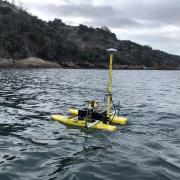
UAS for shallow bathymetric mapping (Slocum et al., 2019; Lambert and Parrish, 2023)
-
simUAS: computer graphics rendering workflow for generating scenes of simulated UAS imagery for analyzing structure from motion (SfM) outputs (Slocum and Parrish, 2017)
-
Investigation of computationally-simple, shape-based lidar waveform features (e.g., statistical moments, numerical integrals, and slopes) for enhanced analysis of spatially-varying elevation uncertainty and coastal mapping
-
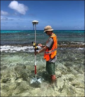
Use of topographic-bathymetric (“topo-bathy”) lidar for mapping benthic habitats, including coral reef and seagrass habitats (Wilson et al., 2019)
-
UAS and lidar for traffic network monitoring
-
Use of UAS for bridge inspections (collaborative research with Dr. Dan Gillins)
-
PacTrans-sponsored UAS in Transportation Expo (workshop report)
-
Bathymetry estimation from multispectral satellite imagery
-
Notes on the index of refraction in seawater and freshwater


