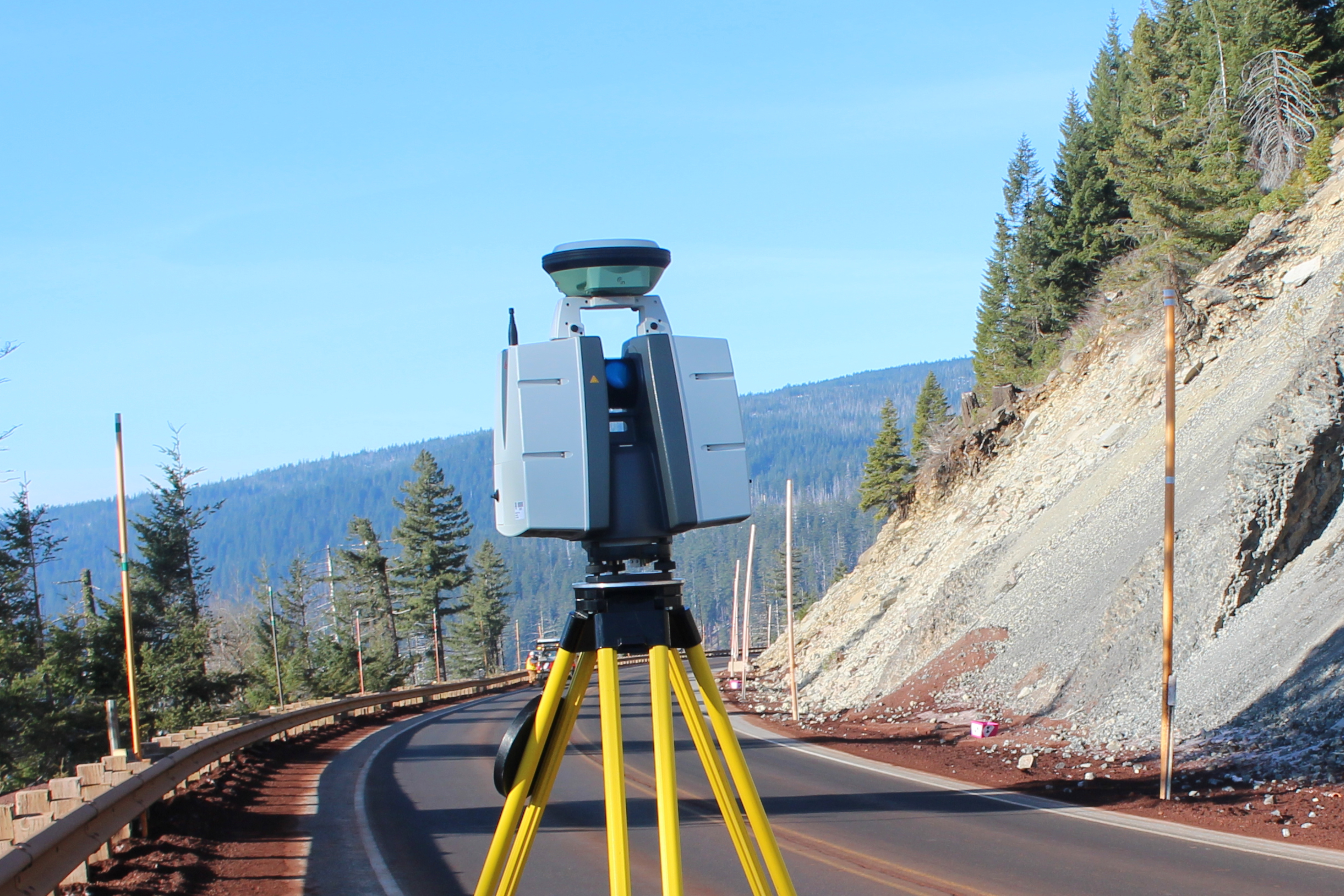
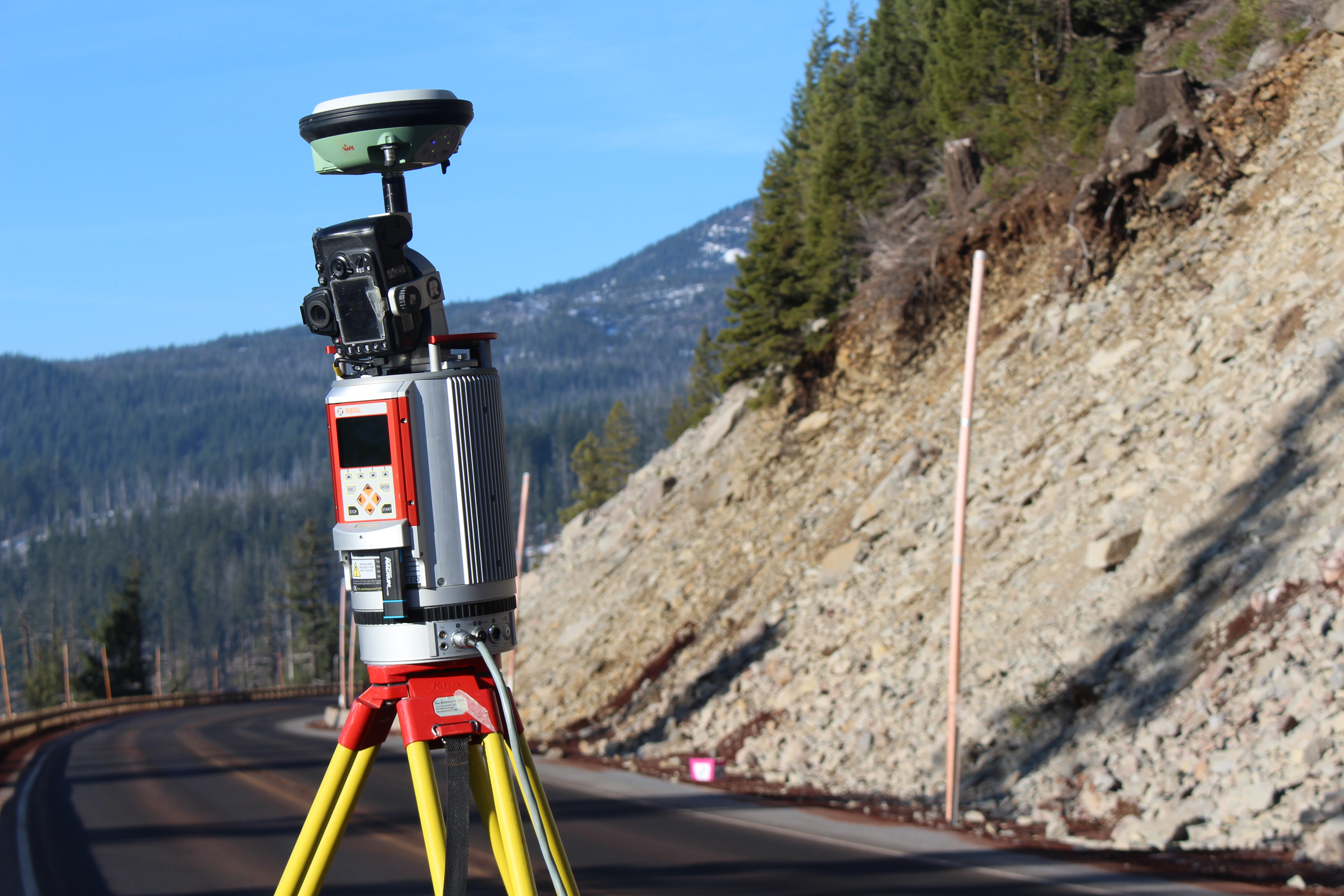
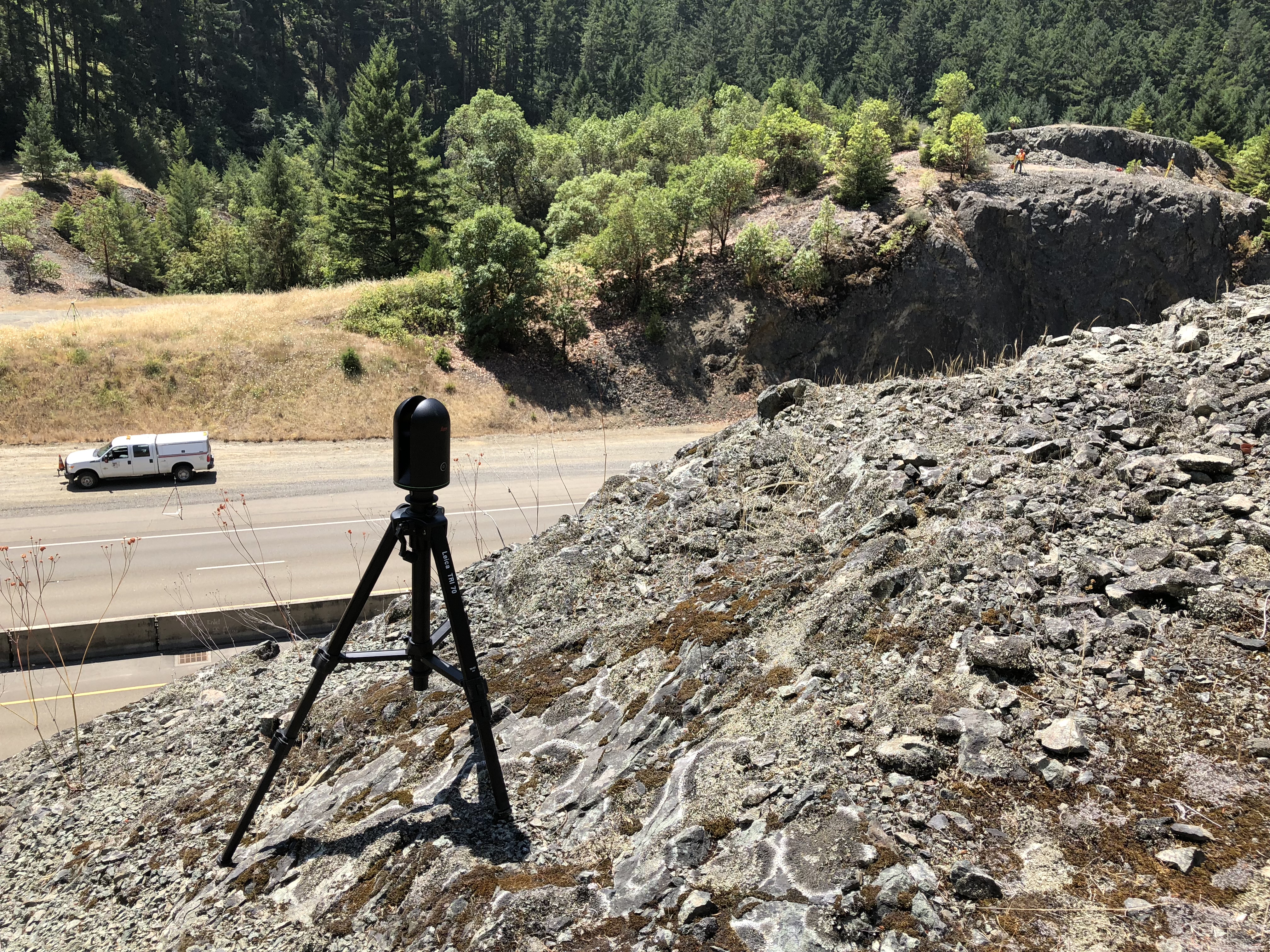
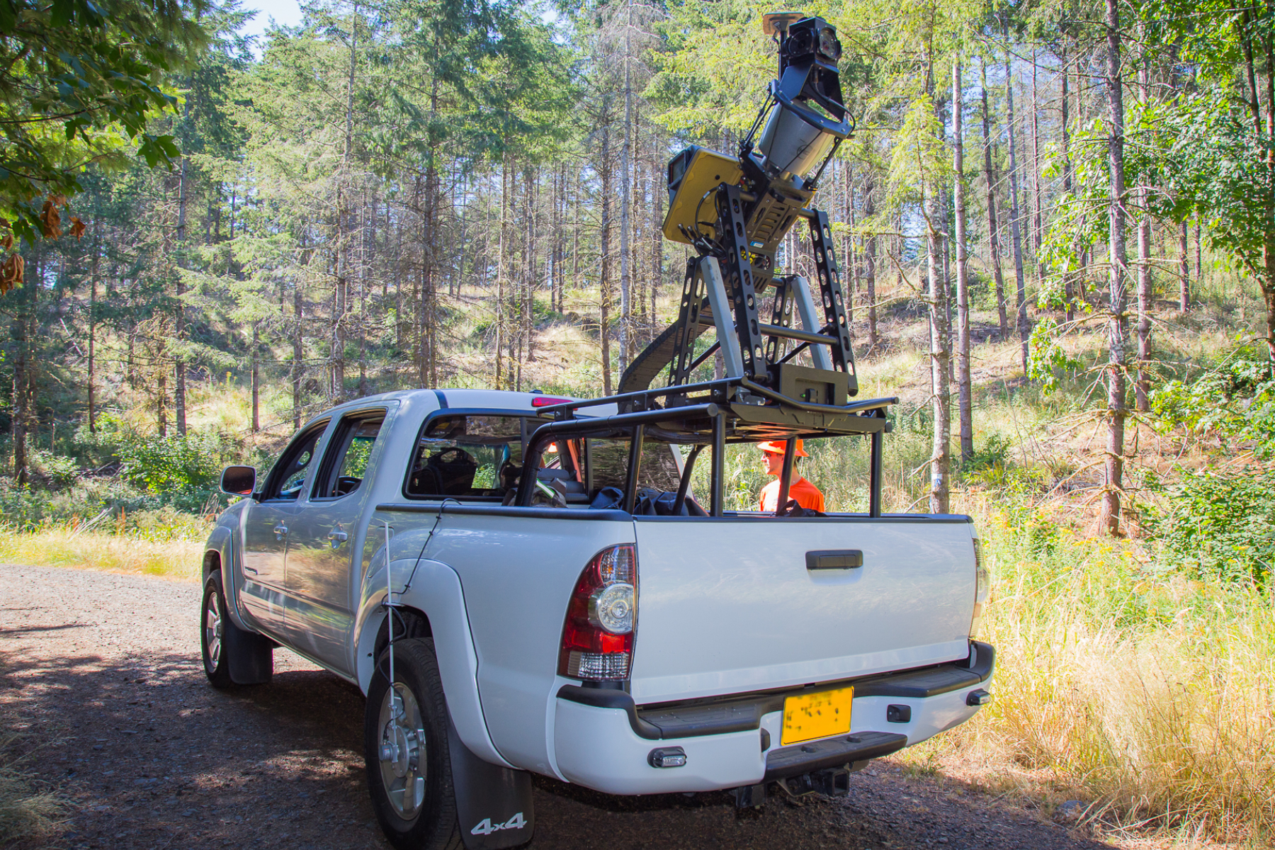
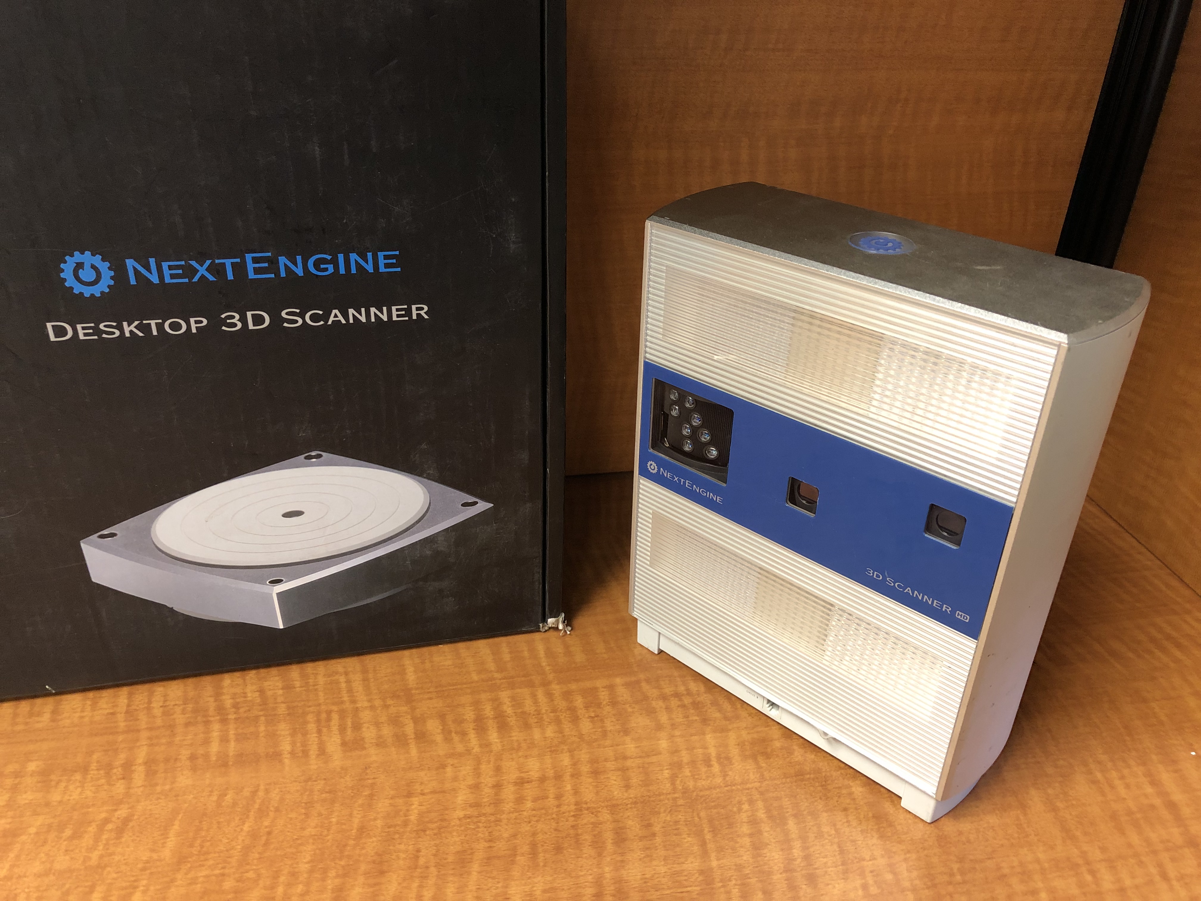
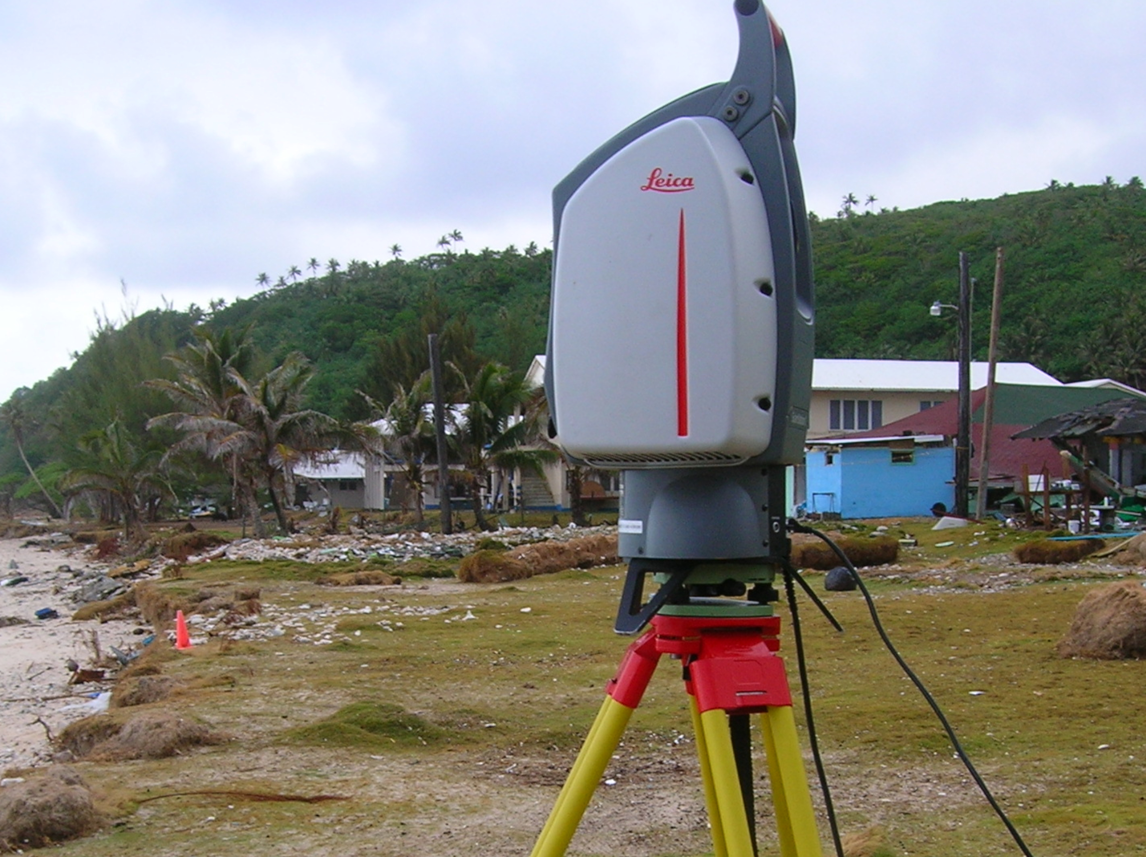
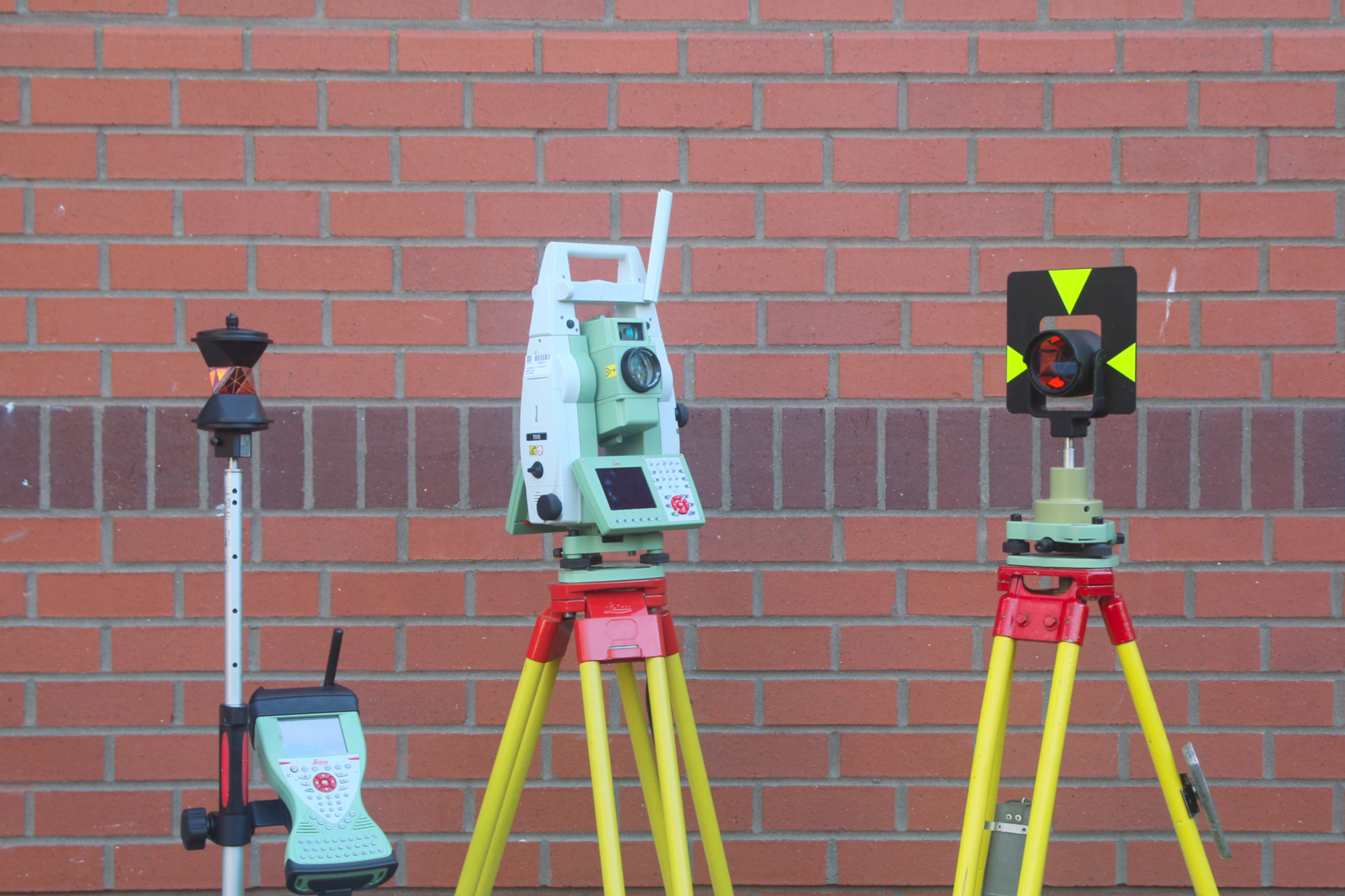
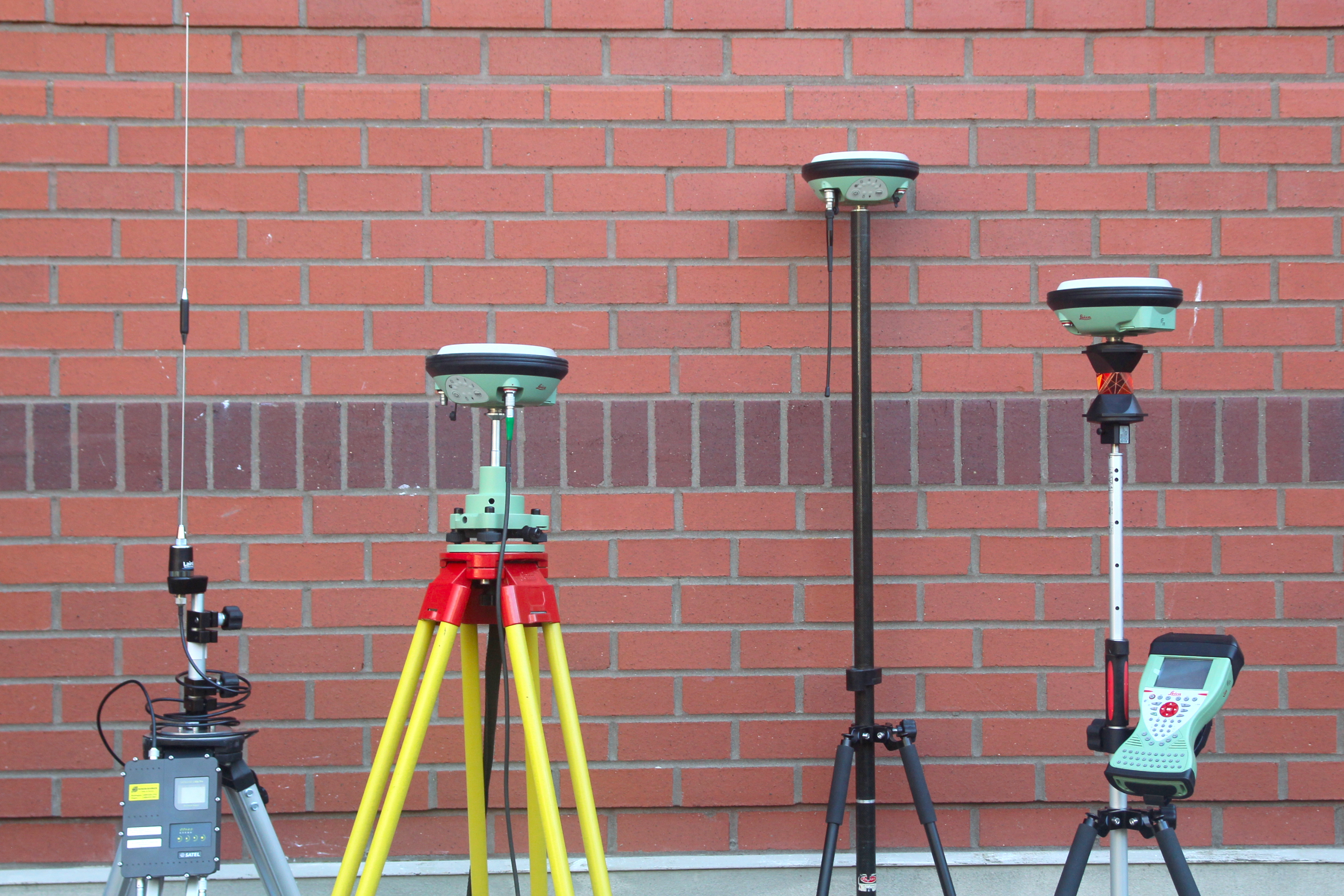
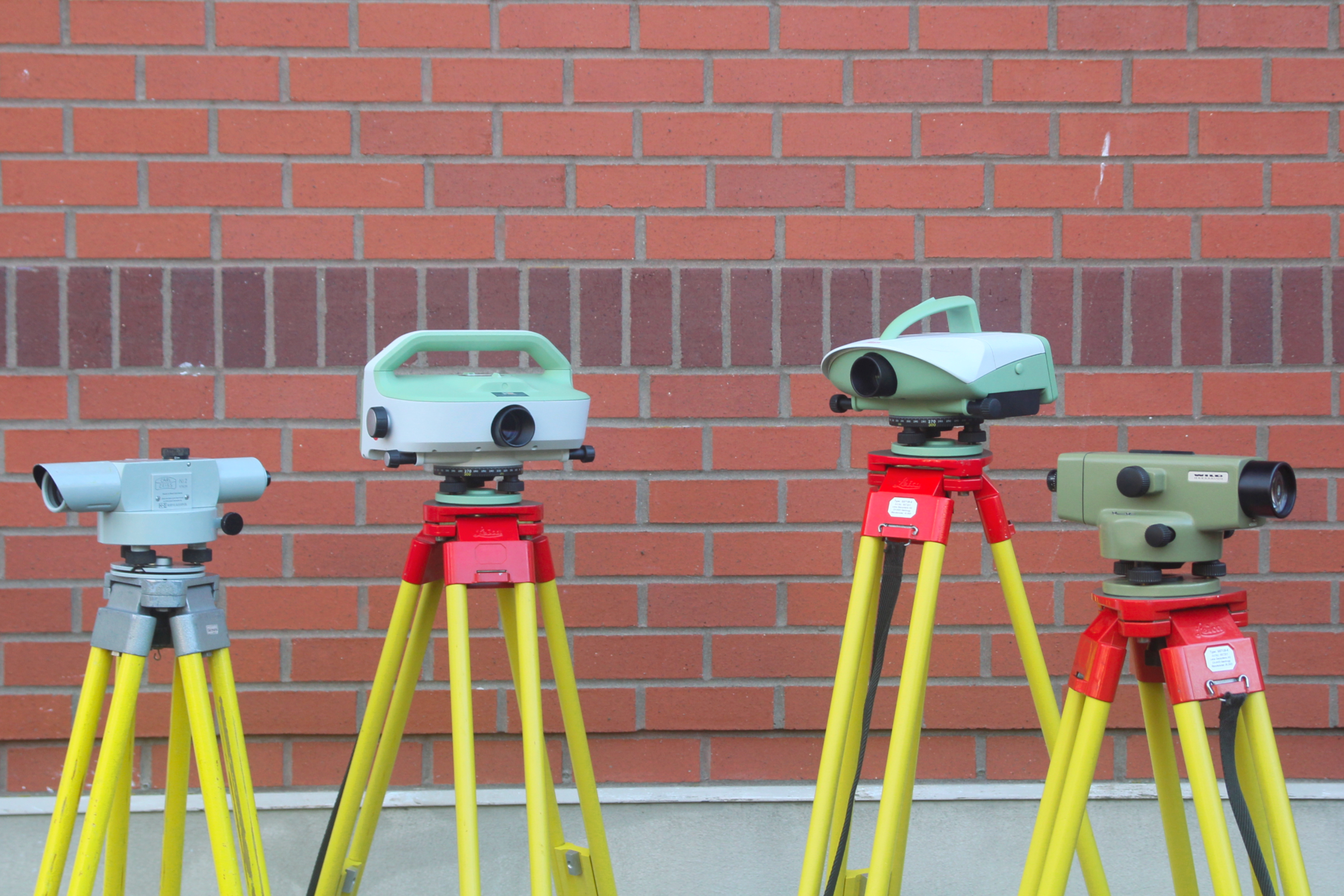
OSU has access to a large amount of state-of-the-art equipment and software. This provides students with access to a large amount of modern survey equipment. Students will be trained on the same equipment that will be found in industry practice.
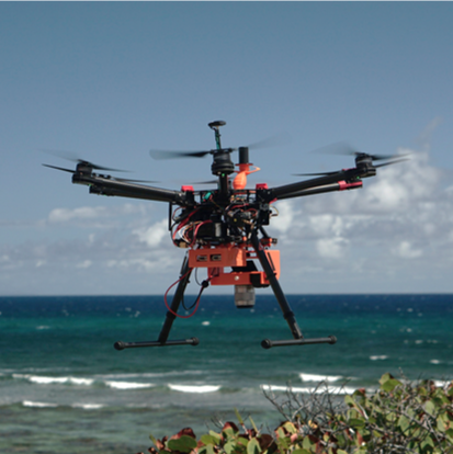 |
DJI S900 Custom built airframe for PPK mapping and custom sensor payloads |
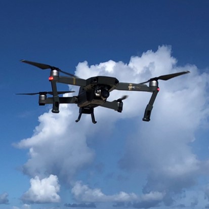 |
DJI Mavic Pro System for SfM mapping and overview imagery |
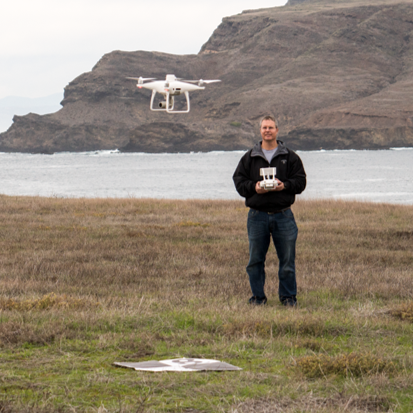 |
DJI P4P-RTK System for SfM mapping projects |
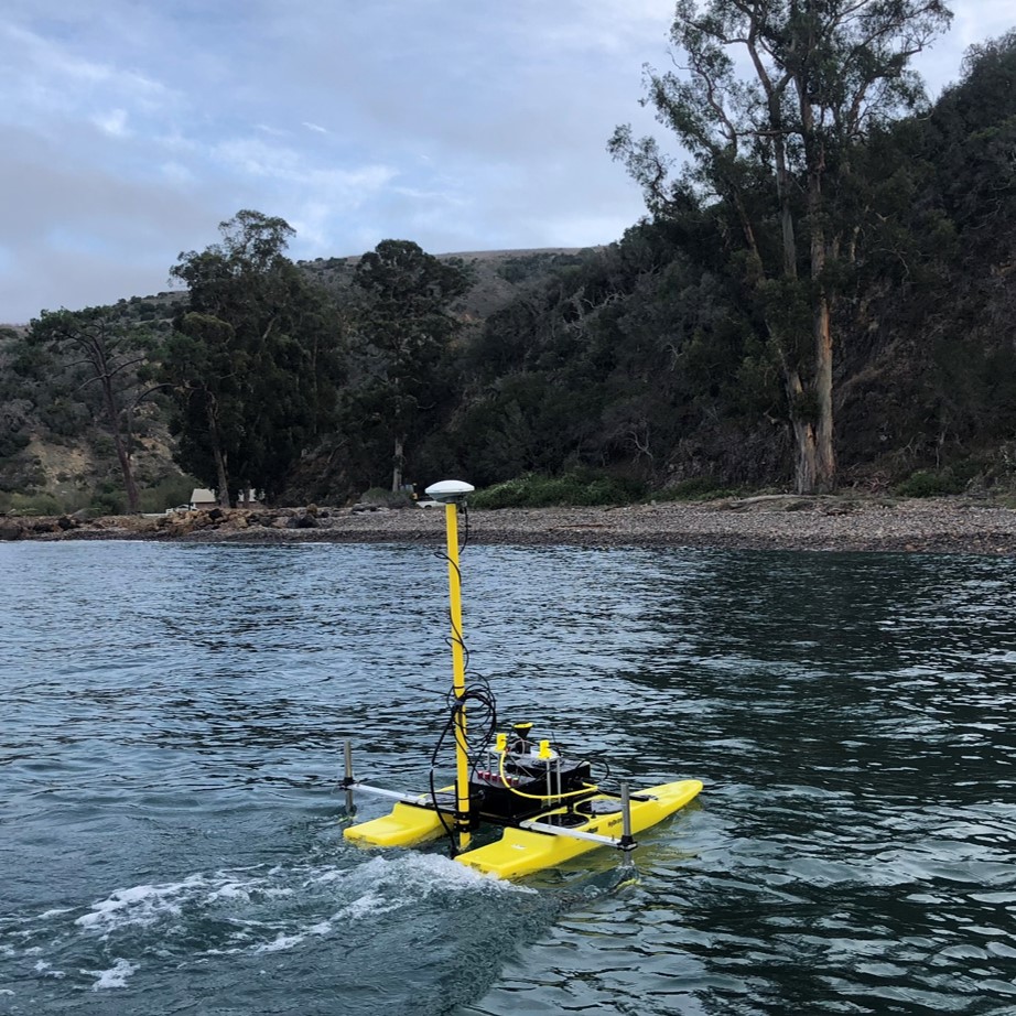 |
Seafloor Sytems Hydrone Autonomous surface vessel with custom payload bathymetric mapping with single-beam sonar and RGB imagery. |
 |
Seafloor Sytems EchoBoat Autonomous surface vessel equipped with a Pico-MB 120 multibeam sonar and a tightly coupled GNSS-aided inertial navigation system. |